Swahili Coast
Swahili Coast is an African Royals map where naval Trade Routes connect the East African coast with sea lanes between Africa and Asia. The map makes the water route, nearby shoreline and inland access part of the same contest rather than separate naval and land objectives.
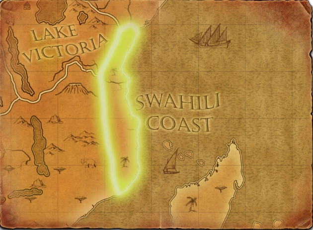
Map character
Scout the route, coastal approaches and local resource sites before investing in a Dock or Fishing Ships. Identify which Trade Route posts can be supported from shore and how quickly land forces can reach them. A fleet may contest the water, but it cannot defend an exposed inland approach or replace the troops needed to hold the Trading Post area.
What to scout
Invest in naval control when the route or fishing economy is valuable enough to justify ships and a Dock. Keep land forces ready to protect shoreline access and posts while the fleet contests water. If the economy cannot support both fronts, secure the objective the army can reinforce most reliably before expanding to sea.
Coordinate naval trade and coastal defense
The African Royals map connects East African coastal routes with naval Trade Routes between Africa and Asia. Scout the route and coastal access before building a Dock or assigning Fishing Ships. Plan how the fleet will protect trade and how land units will defend inland approaches; control of water alone does not secure the shoreline or Trade Route sites.
Coordinate sea-lane and shore control
The route links coastal trade between Africa and Asia, so the fleet’s position can affect how safely a player uses the sea while land troops contest access to shore. Scout the route before committing ships, then keep a reinforcement path open for any Trading Post investment. The best plan depends on the generated starting positions and objectives; do not assume naval control alone secures the map.