Ivory Coast
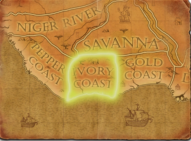
Ivory Coast is a Definitive Edition African map whose terrain changes from mangrove-lined lagoons to grassland and an elevated, drier plateau. It contains both a naval trade route linking Africa with distant markets and a mainland route across the plateau toward the Sahel. Elephant herds, Salmon, Tin Mines, and Akan and Jesuit settlements give players several competing objectives.
Map character
Scout the shore and plateau separately. Locate the naval and land route sites, then compare their access and defensibility before building Trading Posts or investing in a Dock and ships. The land route crosses the northern plateau, while coastal Elephants and water resources can support gathering nearer the shore.
What to scout
Choose the route your army can reinforce and the resource zone your economy can safely use. Water control can protect coastal gathering and contest the sea route; a plateau position can secure land trade and inland resources. Expanding to both fronts too early can divide the force needed to hold either one.
Two Trade Routes connect the coast and interior
The Ivory Coast map combines mangrove-lined lagoons and coastal grassland with a raised plateau leading toward the Sahel. A naval Trade Route links the African coast with overseas destinations, while a mainland route connects coastal areas to the Sahel; another land route crosses the northern plateau. Those routes create several ways to gain map value, and the plateau can offer defensible resources away from the shoreline. Large Elephant herds, Salmon and Tin Mines provide map-specific resources. Scout both land and water access before committing the economy to a single route.