Carolina
Carolina is an original map along the Atlantic coast of the Carolinas. It combines multiple Trade Routes with Cherokee or Seminole settlements, so shoreline access and inland objectives compete for early attention.
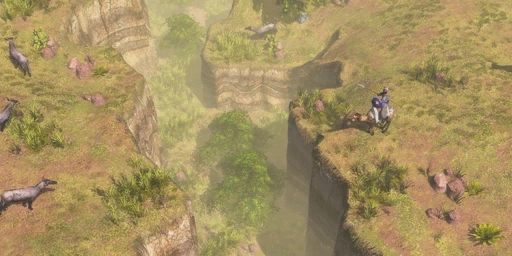
Map character
Scout the coast, Native villages and route sites before splitting resources between a Dock and land infrastructure. Fishing can support the economy, while inland Trading Posts and settlements require land forces to reach and defend. Check which Native settlements and route sections appear in the current layout.
What to scout
Secure the objective the opening army can hold, then add a second front when the economy and reinforcements can support it. Protect coastal workers if the opponent can reach them by ship, and do not leave a Native alliance or Trading Post unsupported.
Coastal routes and settlement choices
Carolina is an Atlantic coastal map where early scouting should cover both the shoreline and the interior. Its multiple Trade Routes compete with Native settlements, and a player may find Cherokee or Seminole communities depending on the generated layout. The coast can support a Dock and Fishing Boats, while inland settlements and Trading Posts require a land force to reach and defend. A naval opening can secure Food and threaten workers on the shore, but it leaves the interior route and Native alliance exposed if the opponent moves overland. Conversely, concentrating on land objectives gives up some control of the water. The best first commitment is the objective your Explorer and opening units can safely hold: inspect the nearest route segment, settlement and fish before dividing the economy. Leave a force capable of responding to a landing, and keep coastal Villagers close enough to retreat if enemy ships appear. Carolina’s unusual shoreline is an economic and strategic route, not merely a visual boundary; a Dock location can change how quickly reinforcements move between the two sides of a fight.
Map choice and local opponents
Carolina’s listed Native settlements are Cherokee or Seminole, with the exact placement determined by the map generation. The multiple Trade Routes create several possible Trading Post positions, so a player can contest one route without committing to the entire map. Combine an Explorer’s first sweep with a Dock decision: if fish and coastline are safe, naval economy can fund land expansion; if the opponent controls the coast, prioritize the inland settlement and protect the route with ground units.
Two fronts between the coast and Native settlements
Carolina combines an Atlantic shoreline, fishing access and inland Trade Routes with Cherokee or Seminole settlements. A Dock can support Food gathering and naval movement, while Native access and inland posts require a land force to reach and defend them. The shoreline and route sites can pull the opening army in different directions. Scout the generated coast and settlement positions before splitting workers between water and land, then reinforce whichever Trading Post or Dock can be held.